Home > Map screen
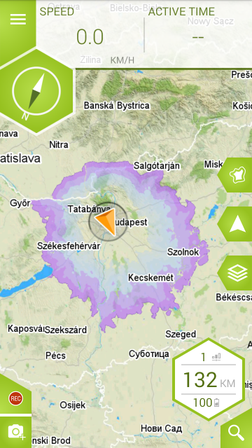
This screen shows you the map and your position on it. This page shows the structure and features of the Map screen.
If your phone’s location is switched on, your current position will be shown on the map with an orange arrow. If there is no GPS signal, the arrow will be grey.
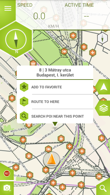
Long tapping the map will open a pop-up menu showing the location’s address, the option to add it as a favorite, the possibility to plan a route using it as the destination and a button for searching for POIs around it.
The panes (computers) at the top of the screen can be modified to display your preferred information. To do this, tap and hold the pane you would like to change and select the information you would like to see displayed.
The road types are differentiated by line colours – please find the legend below as per OSM:
– Red (thick line): motorways (non cyclable)
– Yellow (thick line): other main roads (cycling not advised)
– Dark grey (thick line): secondary roads (cyclable)
– Dark grey (thin line): connecting roads (cyclable), pedestrian, track, path, steps
– Violet: cycleways
– Purple: ferry
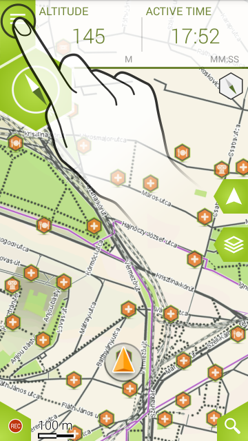
‘Menu‘ button – Can be used to access the Main menu of the application. Further menus and settings can be accessed from here.
‘Orientation to North‘ button – fixes the map orientation to the North.
‘Follow mode‘ button – locks on to the cursor and orients the map according to its movement.
‘Map layers‘ button – gives you access to the map layer and POI display settings.
‘Record‘ button – starts recording your current activity. After tapping, it transforms into a ‘Pause/Stop‘ button. Recorded activity can later be opened within the ‘Memory‘ menu.
‘Search‘ button – opens the ‘Destination‘ menu.
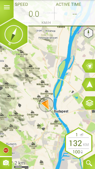
If you connect an E-Bike (you will either need to redeem or buy the E-Bike package), the map screen will show a bubble that contains information related to the bike (assist level, range, charge). Tapping it will take you to the ‘Dashboard/E-Bike’ tab.
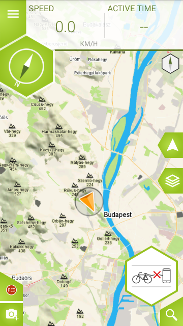
If the bike is not connected, the bubble will display an icon showing the lack of connection. Tapping it will take you to the ‘Settings/E-Bike’ tab so you can search for the bike if it is nearby.
Having a connected E-Bike will also make the app display an RHA (Reductive Height Analysis) button. Toggling it will display the range contours of the connected bike. This feature uses the bike’s data and the surrounding terrain to determine a precise range


